Current Data About
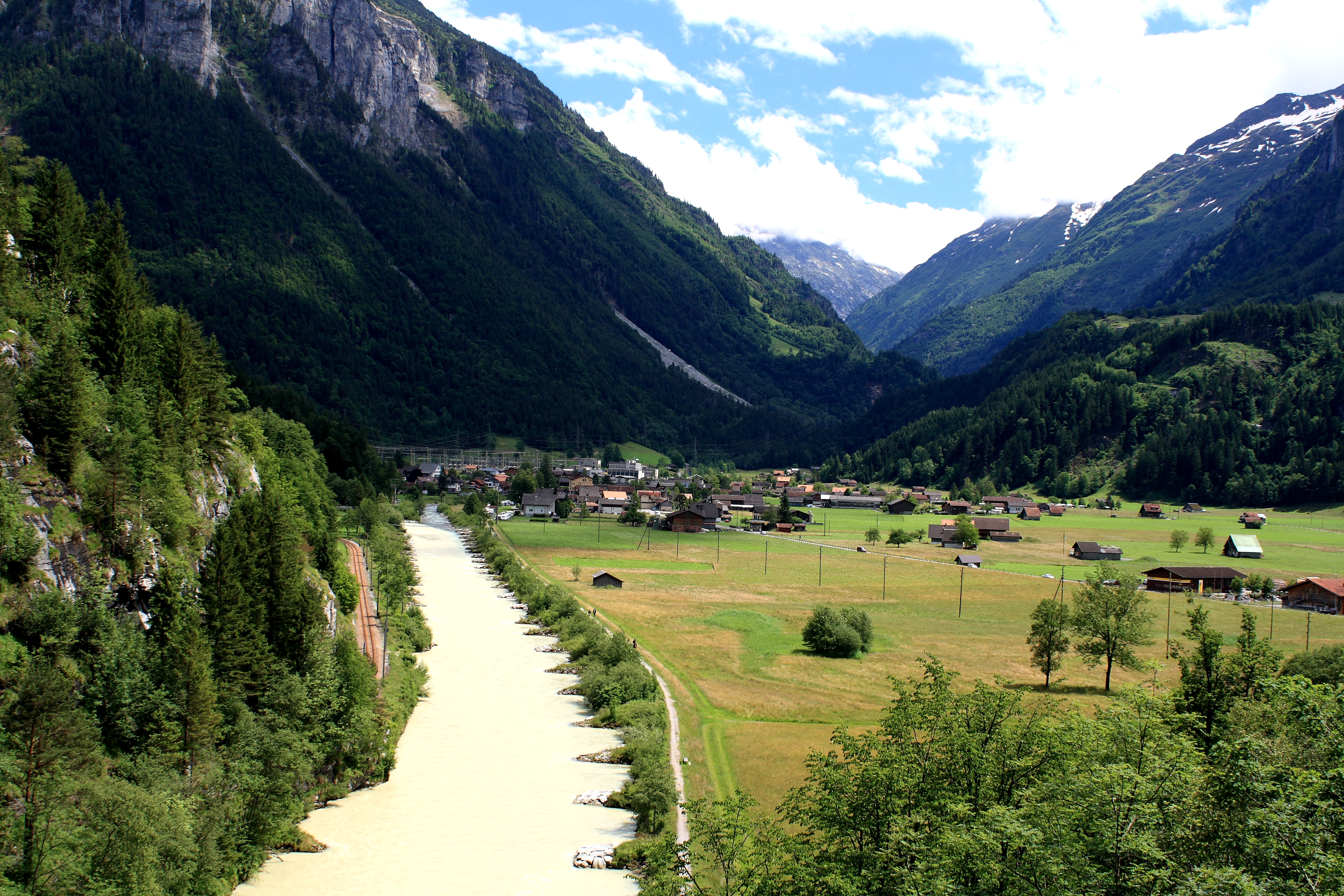
Innertkirchen
other details
| aliases |
Innertkirchen BE |
| description | Municipality in the canton of Bern, Switzerland |
External Links
| (P214) |
246275700
|
| (P227) |
4494979-0
|
| (P402) |
3411258
|
| (P646) |
/m/0d4wg0
|
| (P771) |
0784
|
| (P902) |
000470
|
| (P1566) |
2660255
|
| (P2326) |
-2552546
|
| (P4829) |
CHE-115.058.428
|
| (P6144) |
802000784
|
| (P6766) |
404567773
|
| (P8168) |
Q879959
|
| (P8974) |
p/c345b090-e086-4bfa-a0f6-29d7bef95256
|
| (P10832) |
E39PBJfWV8VH9xqXgjKFmh67pP
|