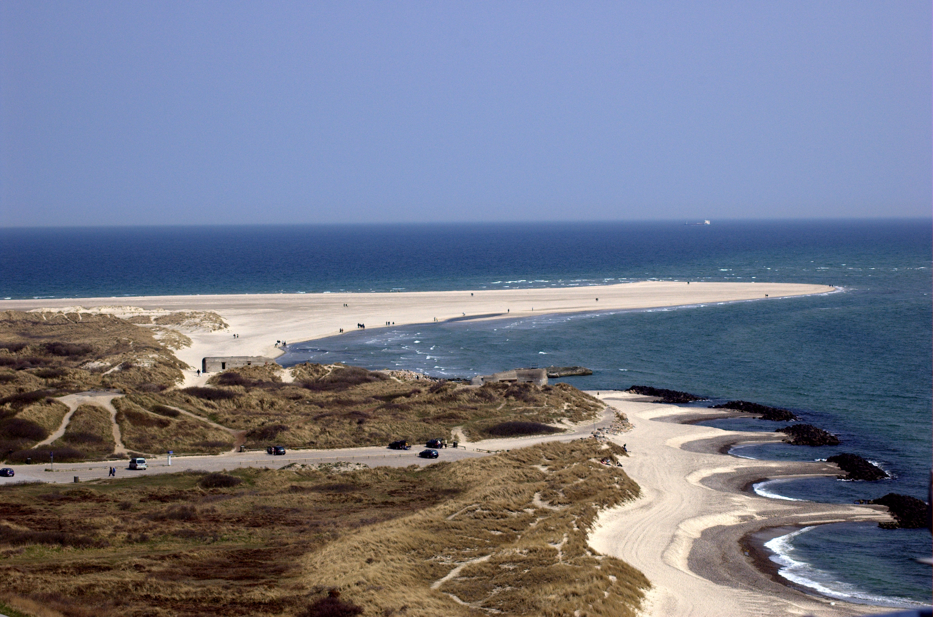
Current Data About
North Jutlandic Island
| (P17) |
(Q35)
|
||
| (P18) |

|
||
| (P31) |
(Q23442)
|
||
| (P36) |
(Q21185)
|
||
| (P131) |
(Q26067)
|
||
| (P206) |
(Q1695)
|
||
| (P242) |
Location map North Jutlandic Island.svg
Vendsyssel 2 lng n ubt.png |
||
| (P276) |
(Q25389)
|
||
| (P373) |
Nørrejyske Ø
|
||
| (P625) |
Unable To Parse Value globecoordinate
|
||
| (P910) |
(Q10124091)
|
||
| (P2043) |
194
|
||
| (P2046) |
4685.73
|
||
| (P2049) |
71
|
other details
| aliases |
Vendsyssel-Thy Nørrejyske Ø The North Jutlandic Island |
| description | the northernmost part of Denmark and of Jutland |
External Links
| (P214) |
7168286926357272228
|
| (P227) |
1286978602
|
| (P402) |
5176048
|
| (P646) |
/m/02nqms
|
| (P1417) |
place/Vendsyssel-Thy
|
| (P1566) |
2610534
|
| (P2326) |
-2753532
|
| (P8313) |
Den_Nørrejyske_Ø
|