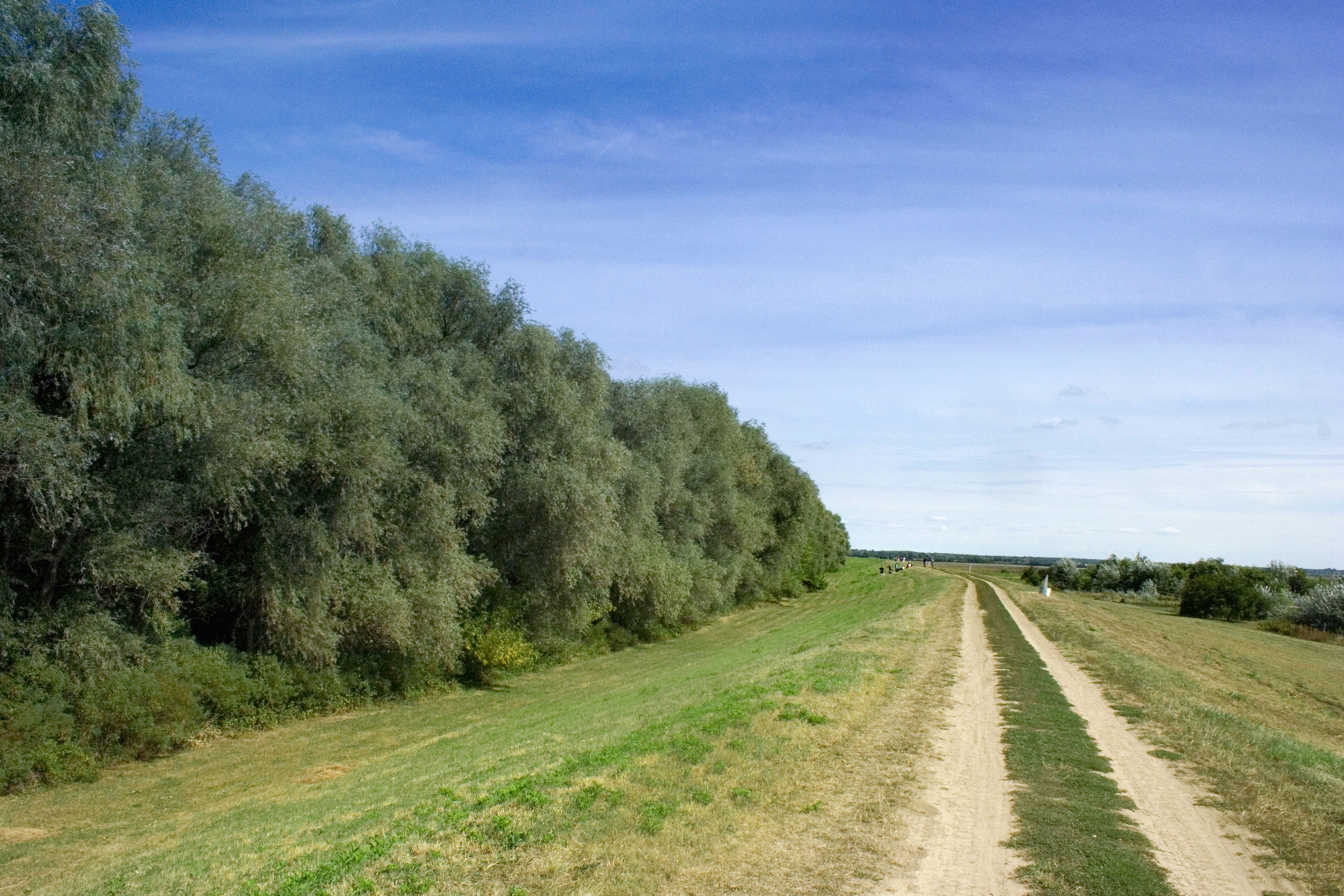
Csongrád-Csanád County
(Q193031)
2nd level administrative division in southeastern Hungary
2nd level administrative division in southeastern Hungary
Language:
Current Data About
Csongrád-Csanád County
| (P17) |
(Q28)
|
||||||||||||||||||||
| (P18) |

|
||||||||||||||||||||
| (P31) |
(Q188604)
|
||||||||||||||||||||
| (P36) |
(Q81581)
(Q124375)
|
||||||||||||||||||||
| (P41) |
Flag of Csongrad-Csanad megye.svg
|
||||||||||||||||||||
| (P47) |
(Q181018)
(Q189655) (Q191616) |
||||||||||||||||||||
| (P94) |
HU Csongrád megye COA.svg
|
||||||||||||||||||||
| (P131) |
(Q28)
|
||||||||||||||||||||
| (P150) |
(Q853114)
(Q853858) (Q853898) (Q920588) (Q268820) (Q260215) (Q921275) |
||||||||||||||||||||
| (P237) |
(Q121077895)
|
||||||||||||||||||||
| (P242) |
HU county Csongrad.svg
|
||||||||||||||||||||
| (P361) |
(Q630305)
|
||||||||||||||||||||
| (P373) |
Csongrád-Csanád County
|
||||||||||||||||||||
| (P421) |
(Q25989)
(Q6655) |
||||||||||||||||||||
| (P571) |
Thursday, March 16, 1950
|
||||||||||||||||||||
| (P625) |
Unable To Parse Value globecoordinate
|
||||||||||||||||||||
| (P856) |
http://www.csongrad-megye.hu/
|
||||||||||||||||||||
| (P910) |
(Q8985964)
|
||||||||||||||||||||
| (P948) |
Alföld banner.jpg
|
||||||||||||||||||||
| (P1082) |
406205
391184
|
||||||||||||||||||||
| (P1424) |
(Q14377971)
|
||||||||||||||||||||
| (P1448) |
"Csongrád megye" (language: hu)
"Csongrád-Csanád megye" (language: hu)
"Csongrád-Csanád vármegye" (language: hu)
|
||||||||||||||||||||
| (P1464) |
(Q19637958)
|
||||||||||||||||||||
| (P1465) |
(Q19638070)
|
||||||||||||||||||||
| (P1621) |
Csongrád districts.png
|
||||||||||||||||||||
| (P1791) |
(Q54587659)
|
||||||||||||||||||||
| (P1792) |
(Q8731597)
|
||||||||||||||||||||
| (P1889) |
(Q649214)
|
||||||||||||||||||||
| (P2046) |
426174
|
||||||||||||||||||||
| (P3896) |
Data:Hungary/Csongrád.map
|
||||||||||||||||||||
| (P7867) |
(Q84038460)
|
||||||||||||||||||||
| (P8989) |
(Q107400620)
|
other details
| aliases |
Csongrad County Csongrád County Csongrad-Csanad County |
| description | 2nd level administrative division in southeastern Hungary |
External Links