Current Data About
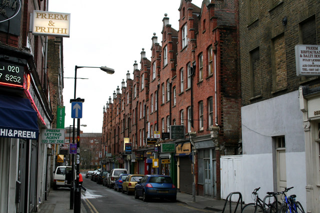
Hanbury Street
| (P17) |
(Q145)
|
||||
| (P18) |

|
||||
| (P31) |
(Q79007)
|
||||
| (P131) |
(Q208152)
|
||||
| (P281) |
E1
|
||||
| (P373) |
Hanbury Street, London
|
||||
| (P625) |
Unable To Parse Value globecoordinate
|
||||
| (P2043) |
0.5
|
||||
| (P2789) |
(Q5122150)
(Q1194528) (Q64022079) (Q66607004) (Q66619145) (Q101584535) (Q119660857) (Q123168898) |
||||
| (P3451) |
Hanbury Street - geograph.org.uk - 1552952.jpg
|
||||
| (P7959) |
(Q19186)
|
other details
| aliases |
Browne's Lane |
| description | street in the London Borough of Tower Hamlets |
External Links
| (P646) |
/m/027jzb7
|
| (P3120) |
4000000030570366
|